Skip to content
Home
Syllabus
Visual Sources
Knowledge, Science, and Technology
Empire and State Formation
Maritime Connections
Slavery / Captivity / Labor / Unfreedom
Border and Borderlands
Global Asia in Documents
Digital Humanities Projects
Menu
Close
Home
Syllabus
Visual Sources
Knowledge, Science, and Technology
Empire and State Formation
Maritime Connections
Slavery / Captivity / Labor / Unfreedom
Border and Borderlands
Global Asia in Documents
Digital Humanities Projects
Knowledge, Science, and Technology
Exchanges between China and Europe
Visual Materials
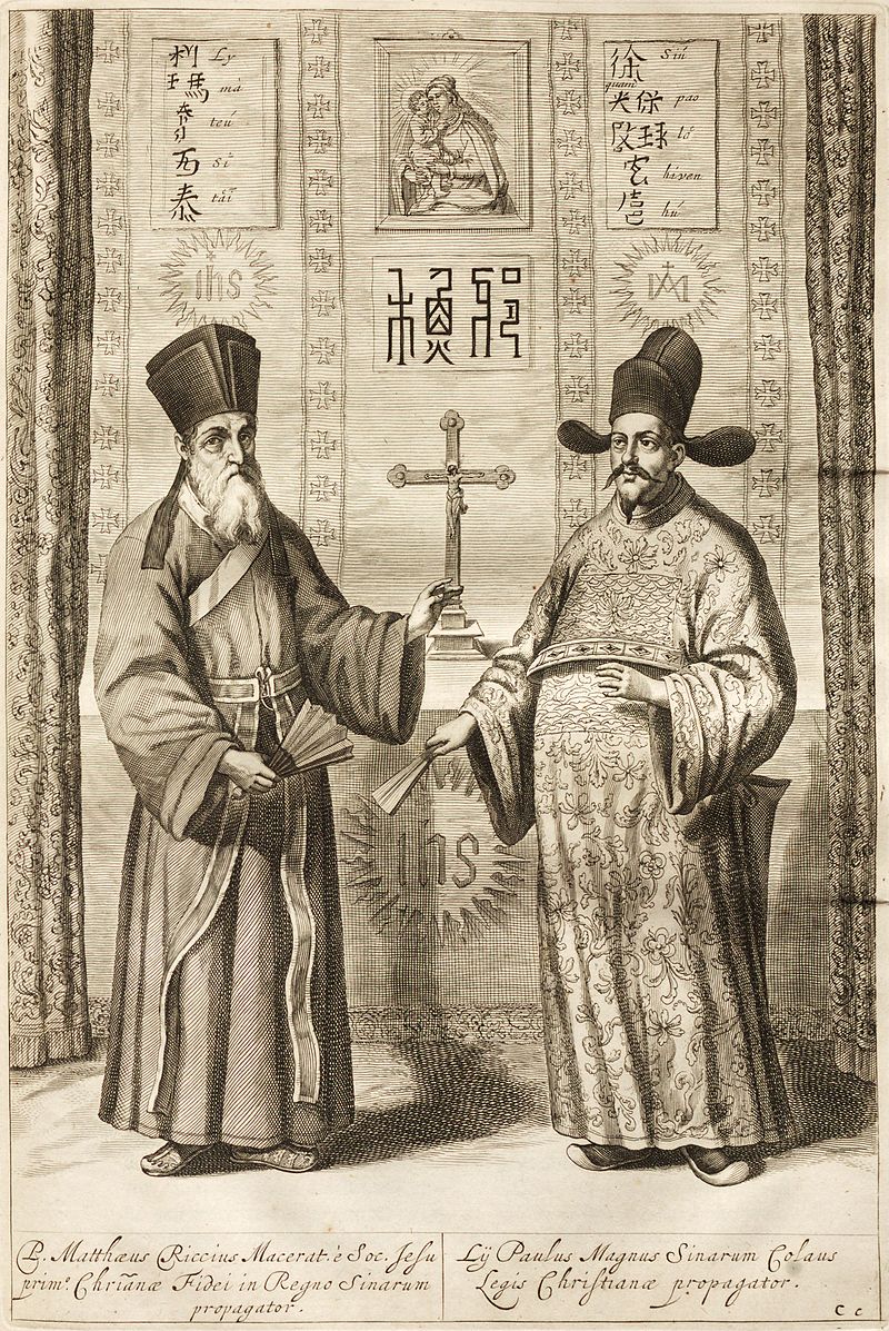
Images of Matteo Ricci and Xu Guangqi
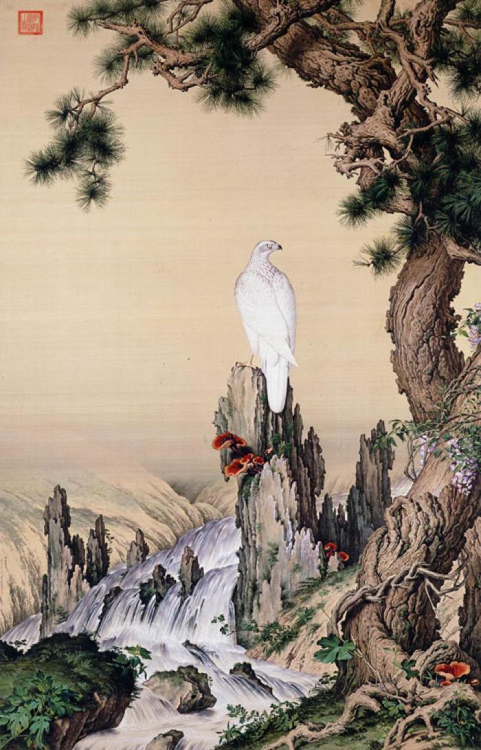
Painting by Giuseppe Castiglione (1688-1766)
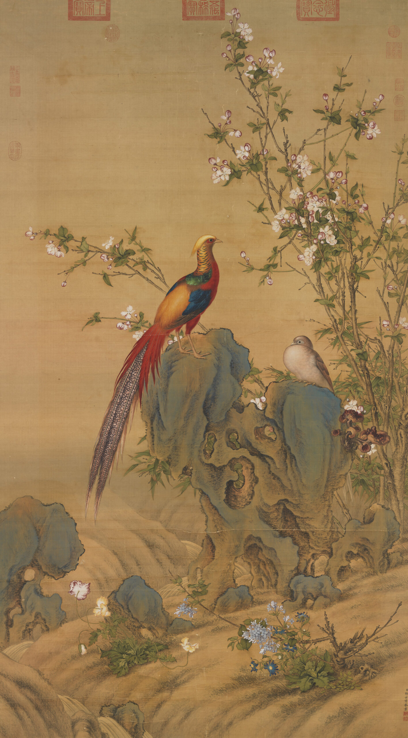
Painting by Giuseppe Castiglione (1688-1766) II
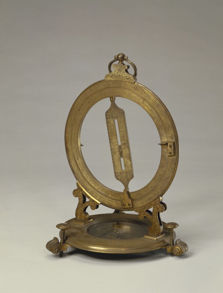
Armillary sphere and other astronomy instruments II
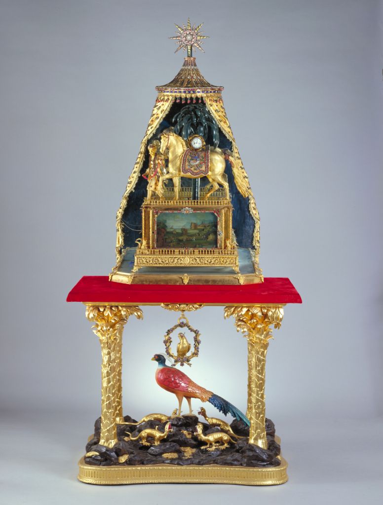
Clock by James Cox Co., UK
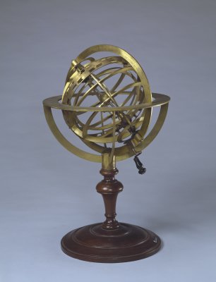
Armillary sphere and other astronomy instruments
Local informants and the collection of knowledge
Visual Materials
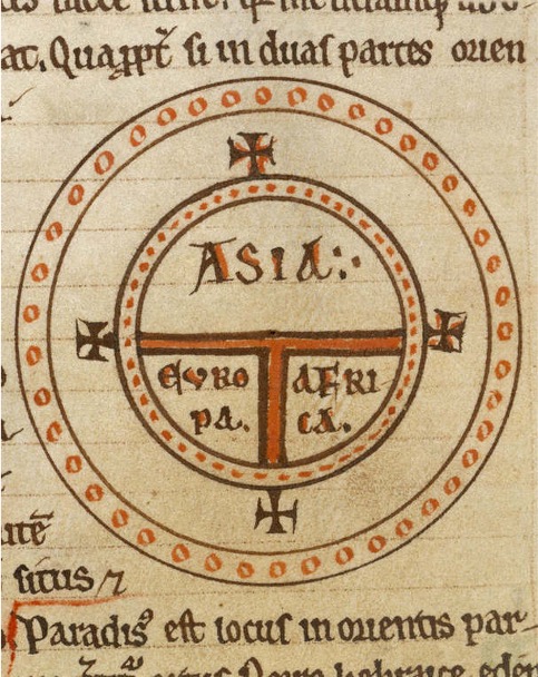
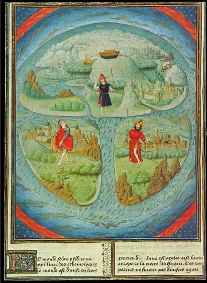
A classic “T & O” Medieval map. Isidore of Seville, Etymologies, 1075
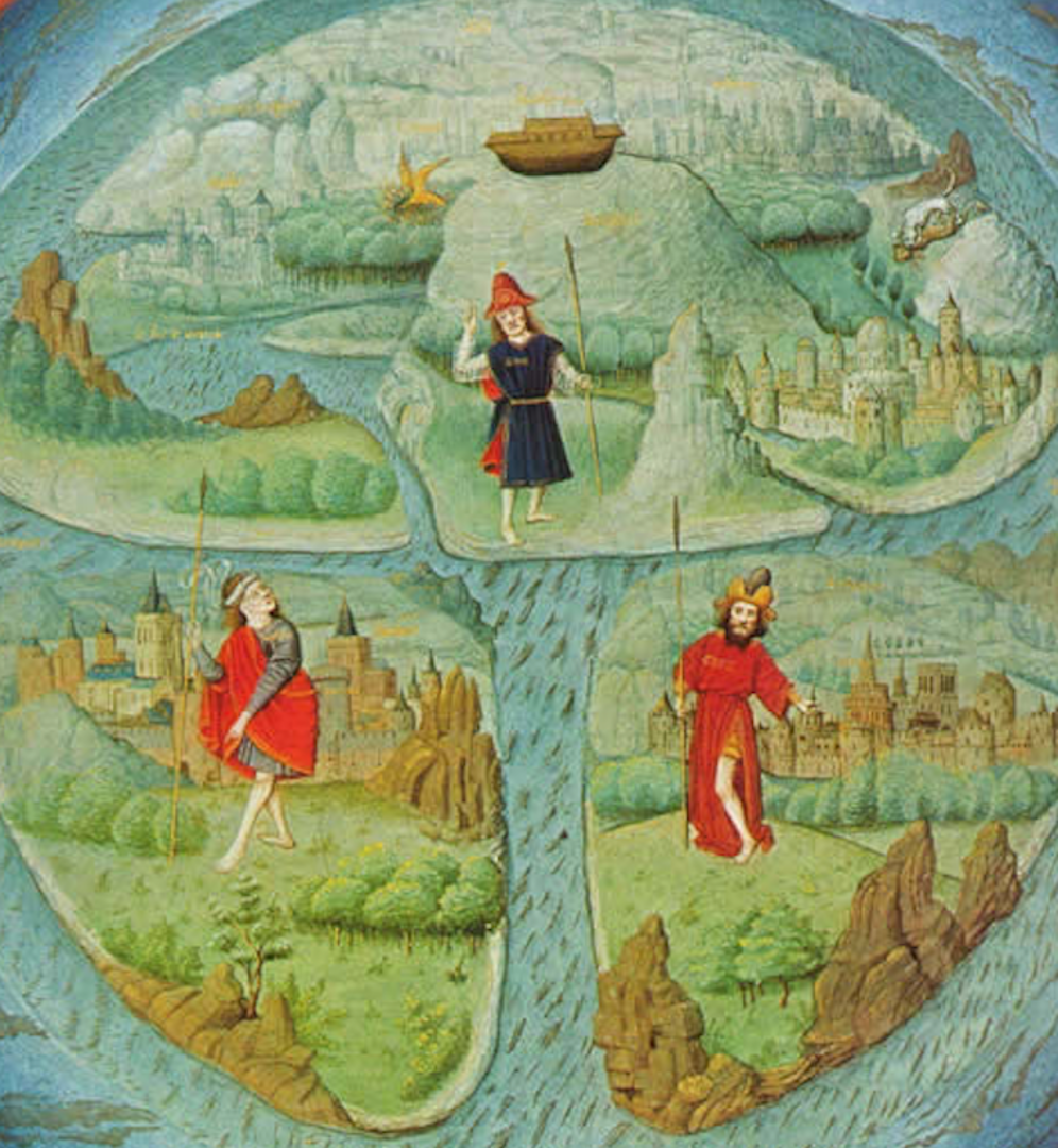
A T & O map in an illuminated manuscript.
A T & O map in an illuminated manuscript.
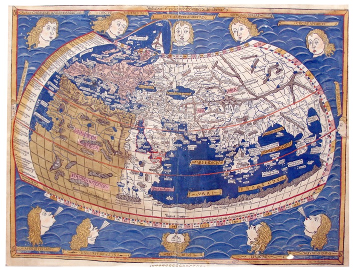
The world map from Leinhart Holle's 1482 edition of Nicolaus Germanus's emendations to Jacobus Angelus's 1406 Latin translation of Maximus Planudes's late-13th century rediscovered Greek manuscripts of Ptolemy's 2nd-century Geography. Ptolemy's second projection. 1482.
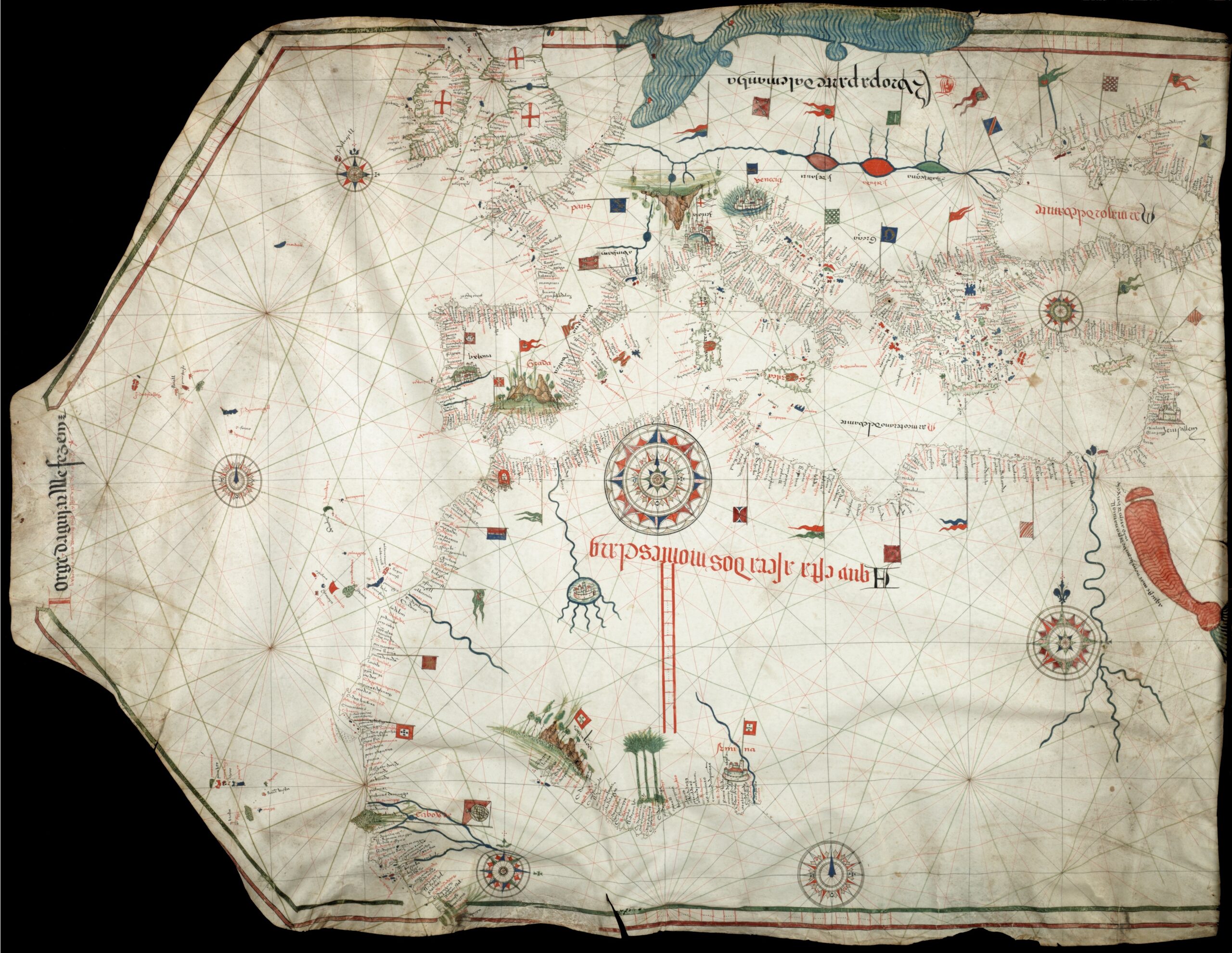
Portolan chart by Jorge de Aguiar (1492), the oldest known signed and dated chart of Portuguese origin
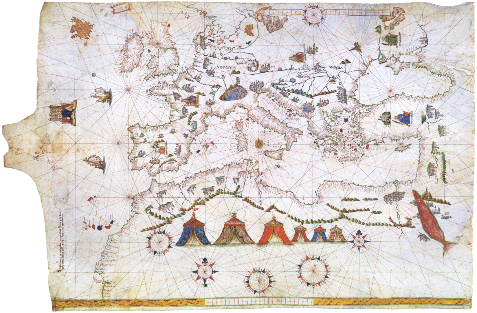
Portolan Chart of 1541. Visconte Maggiolo.
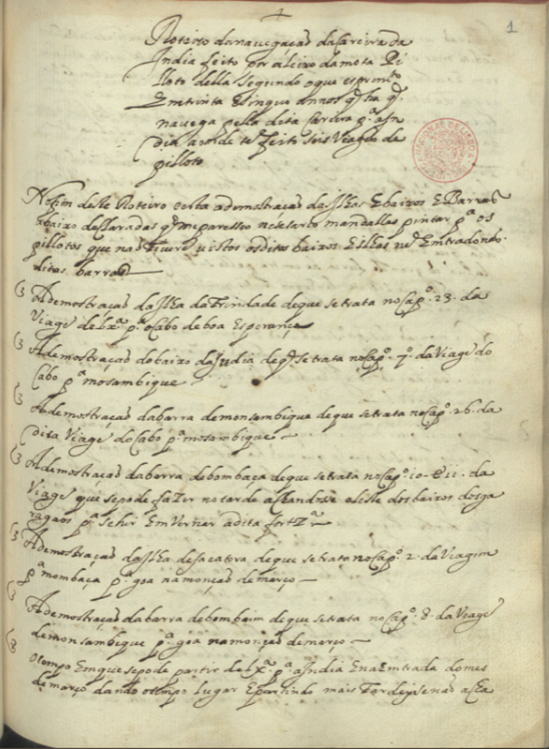
A seventeenth-century Portuguese roteiro (rutter) giving directions for sailing between India and Africa. 100 pages of step by step description.
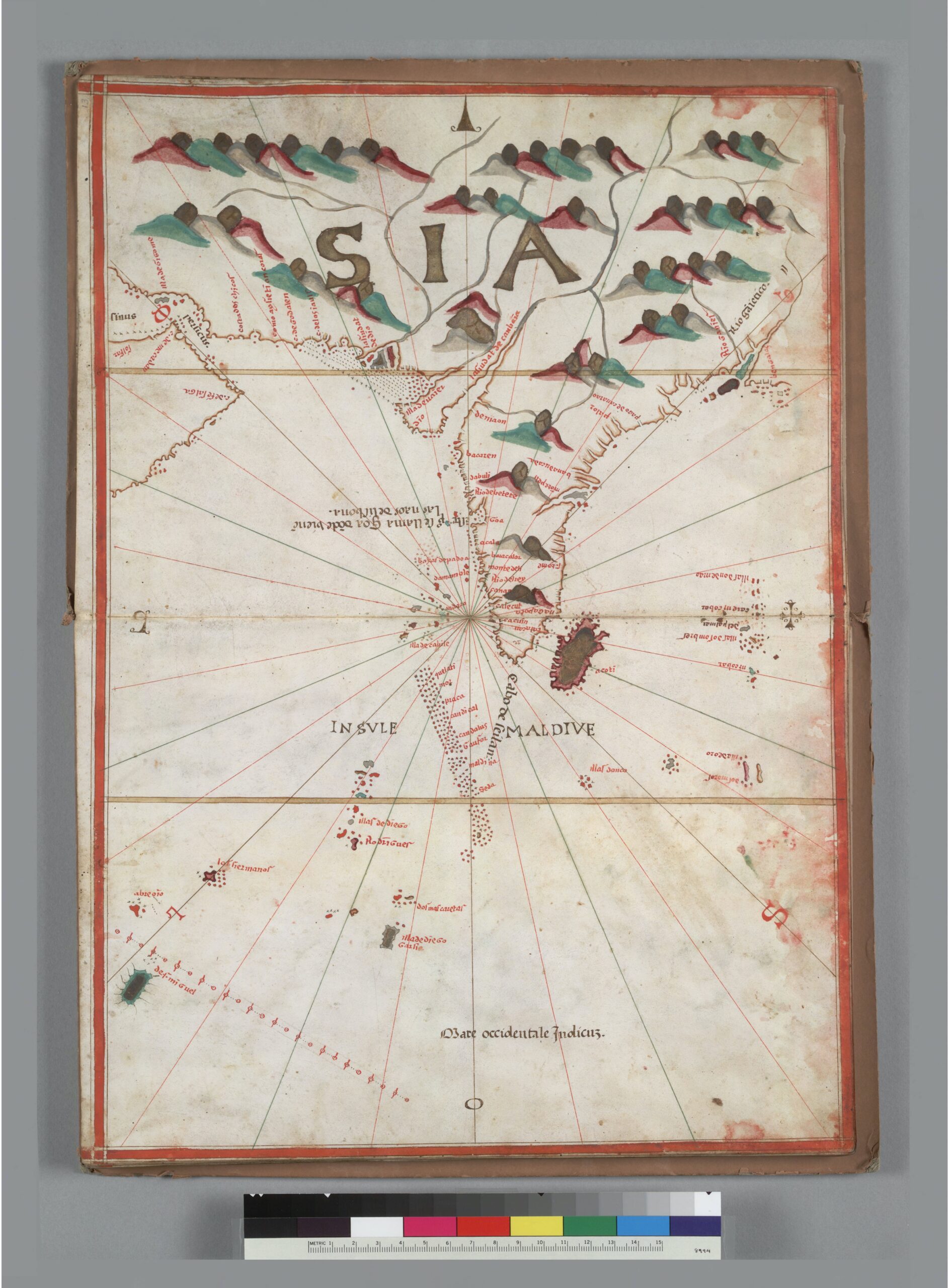
A Portolan map of India and the Maldives.
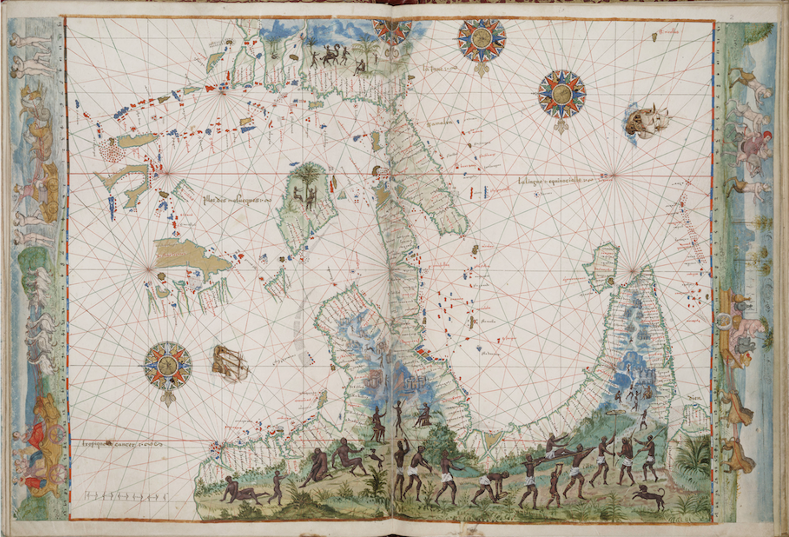
A Portolan chart showing Sumatra, Java, and “Java Maior”.
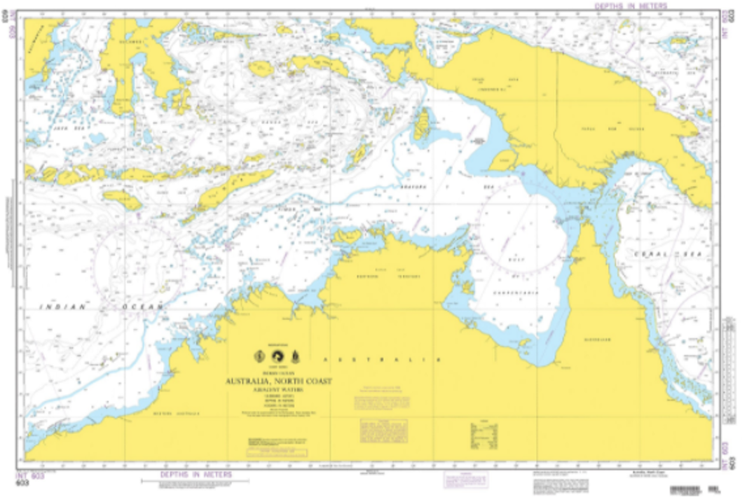
Comparing the 1547 Portolan with a contemporary nautical chart of Northern Australia and Papua-New Guinea.
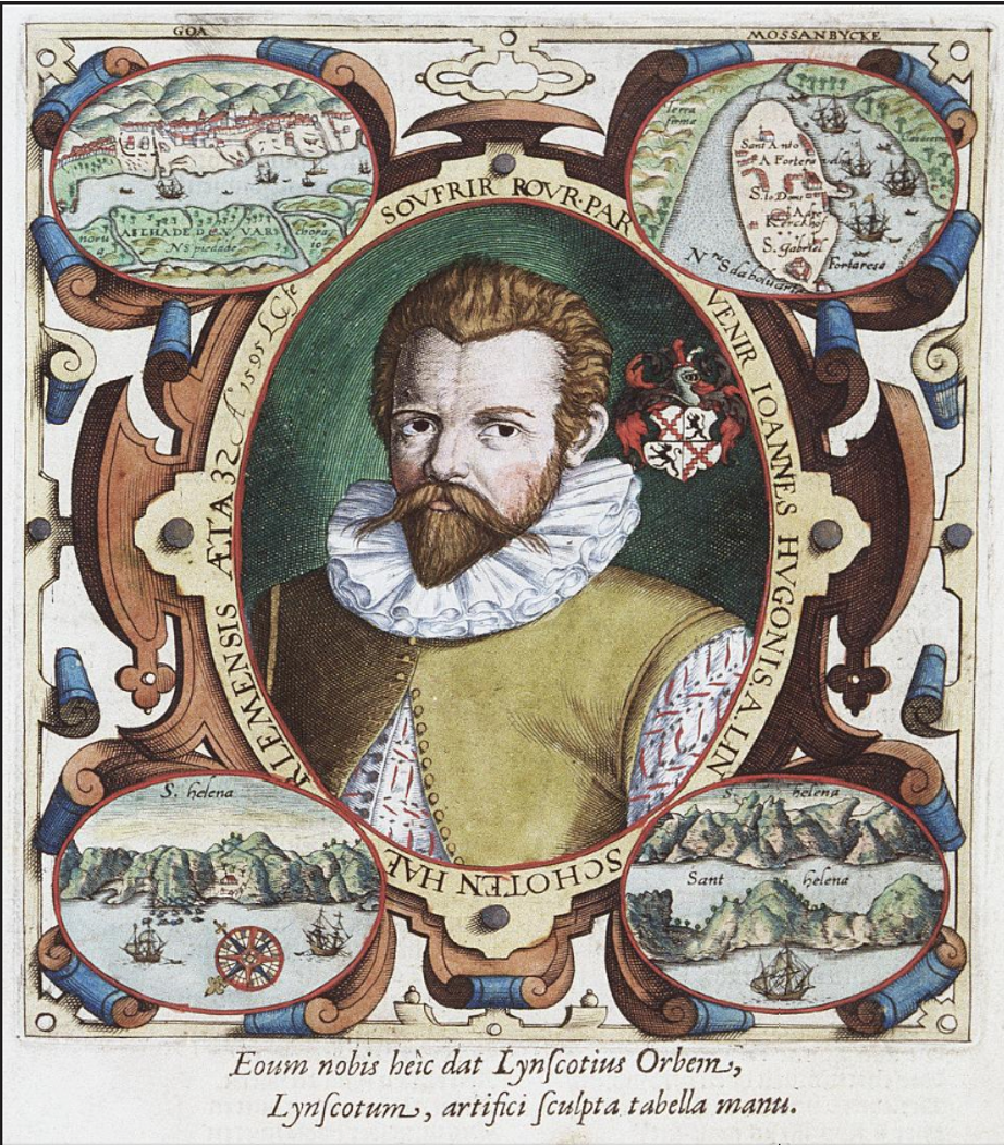
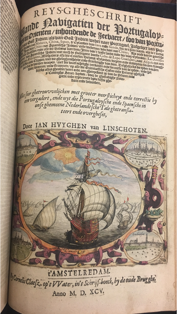
Jan Huygen van Linschoten, from Itinerario, 1595. John Carter Brown Library.
Jan Huygen van Linschoten, from Itinerario, 1595. John Carter Brown Library.
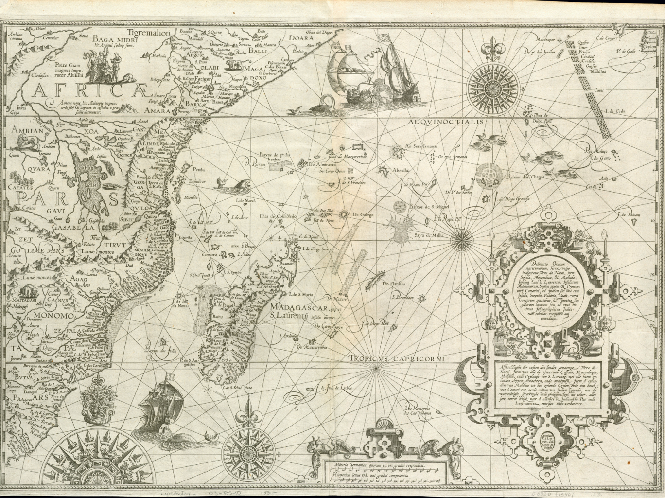
Map of Madagascar and the Southern Indian Ocean in Linschoten, Itinerario. Jan Huygen van Linschoten, from Itinerario, 1595. John Carter Brown Library.
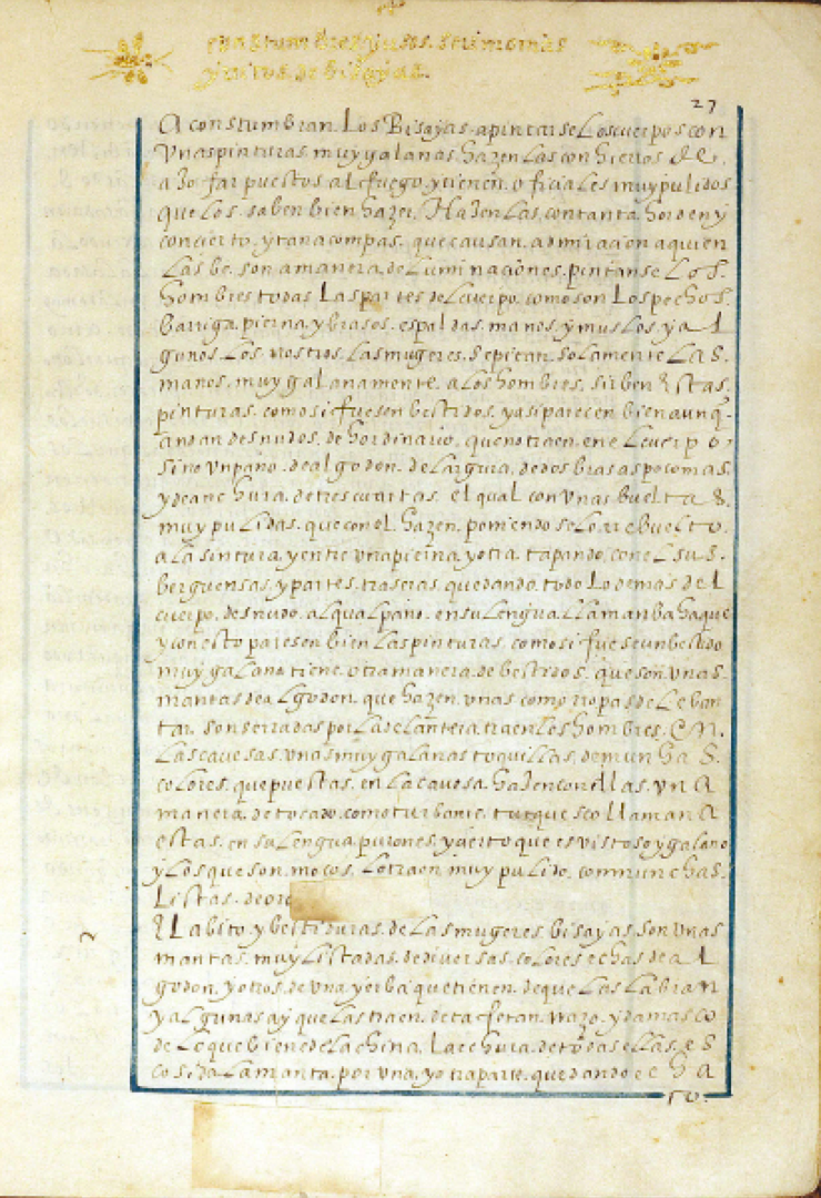
Section describing the Bisayas (Visayans or Kabisay-an), an ethnolinguistic group of the Philippines.
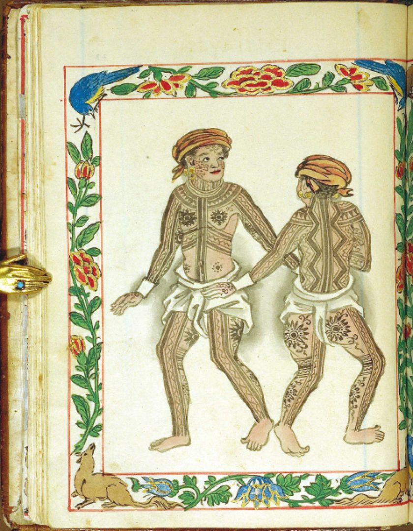
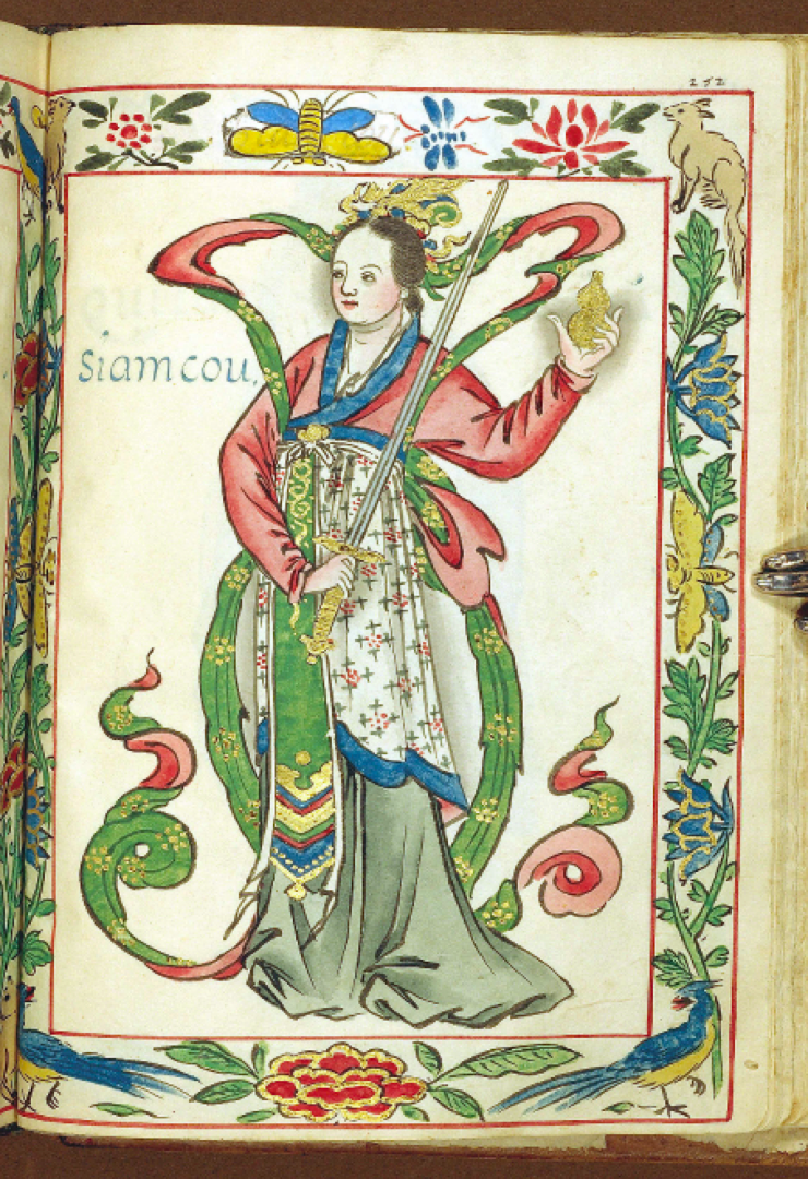
Images from the Boxer codex
Images from the Boxer codex
Images from the Boxer codex
Images from the Boxer codex
Images from the Boxer codex
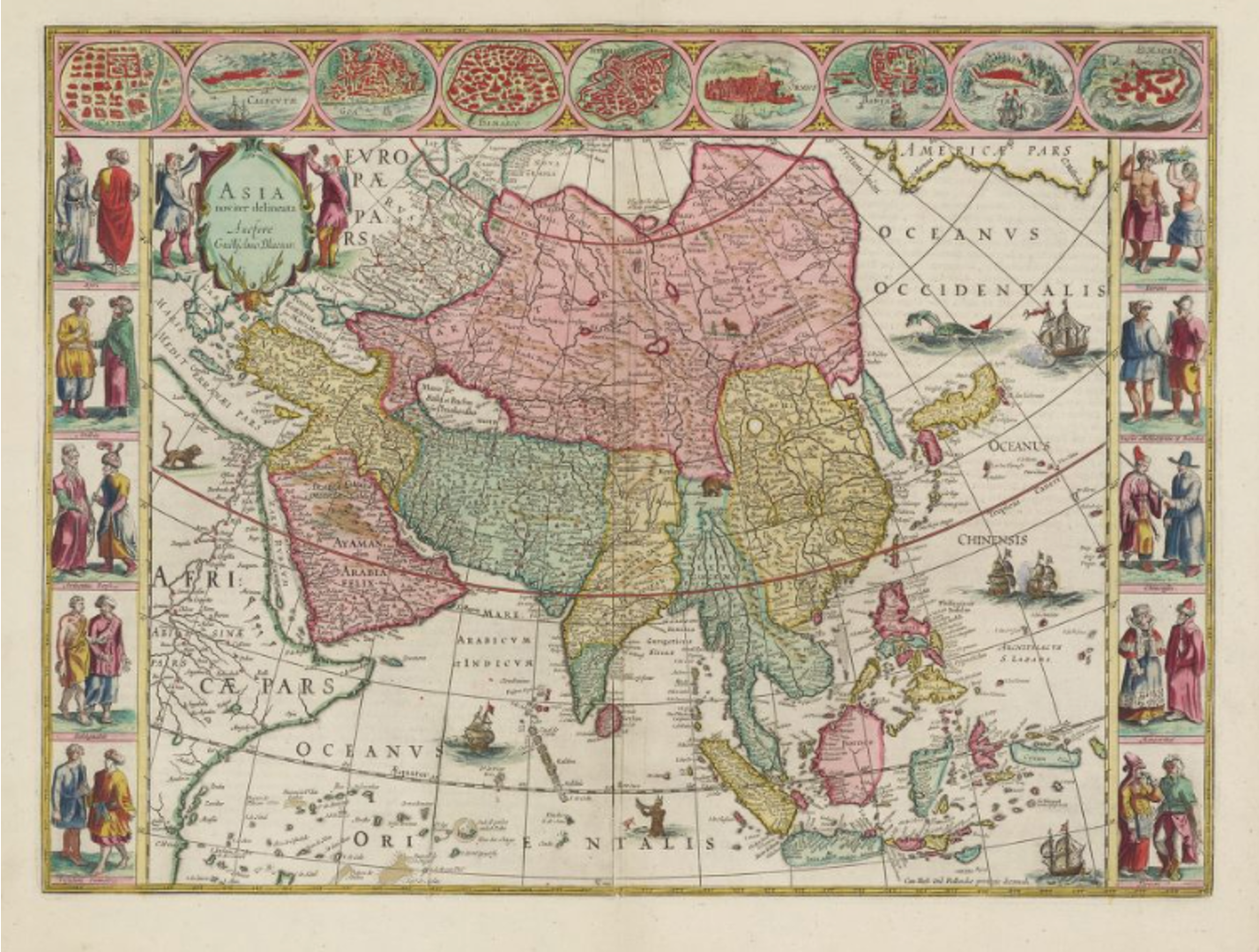
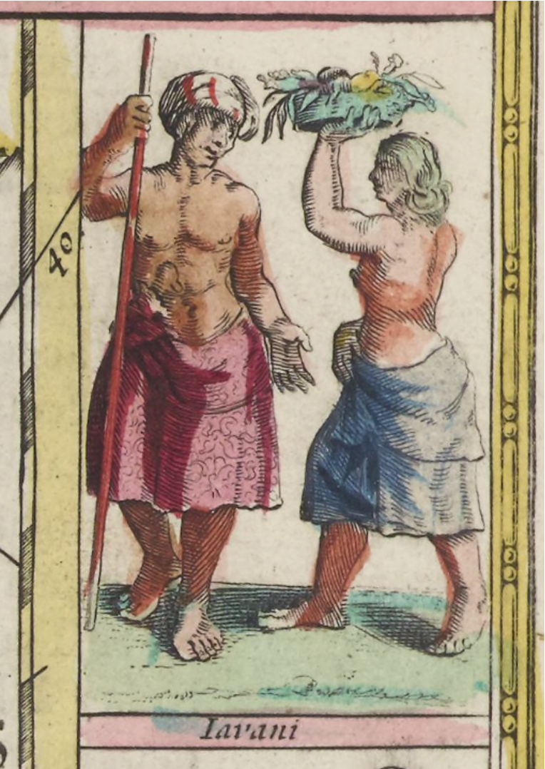
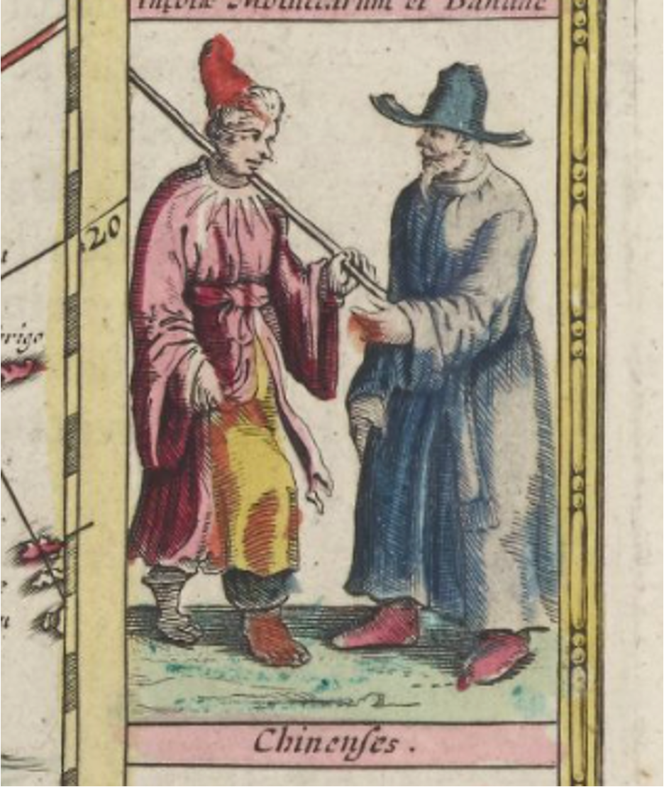
Seventeenth-century Dutch map of Asia, showing ethnographic images.
Joan Blaeu, Atlas Maior (Amsterdam: 1662-1665), vol. 10.
Joan Blaeu, Atlas Maior (Amsterdam: 1662-1665), vol. 10.
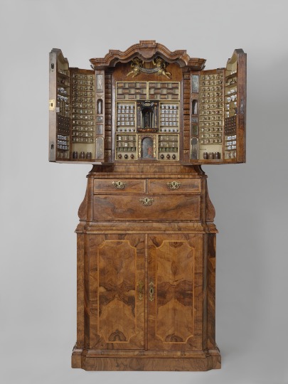
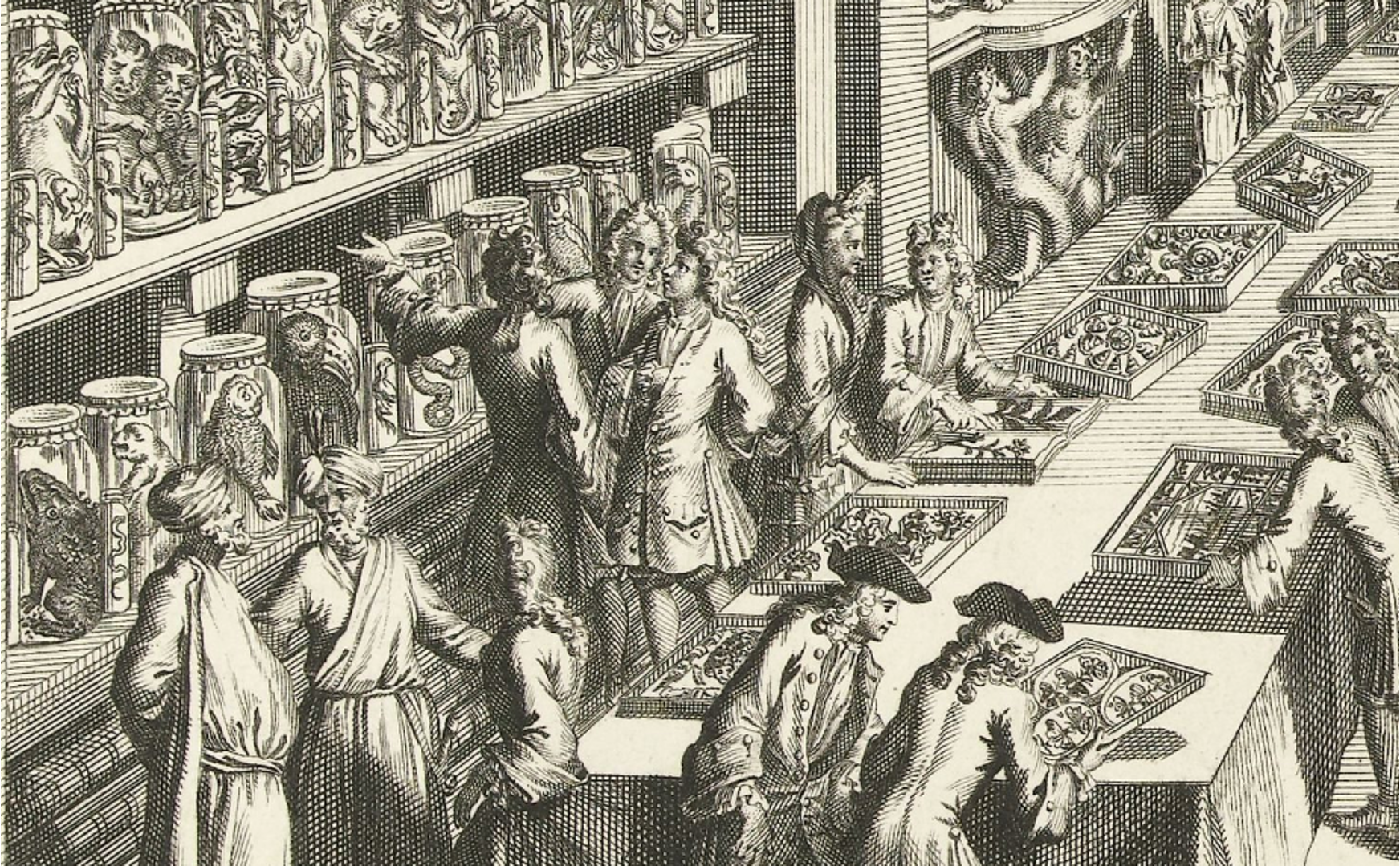
Cabinet of Curiosity from the 18th century Netherlands.
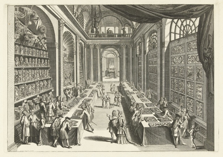
Romeyn de Hoogh and Andries van Buysen, Visitors to the Natural History cabinet of Levinus Vincent in Haarlem, c. 1706.
Romeyn de Hoogh and Andries van Buysen, Visitors to the Natural History cabinet of Levinus Vincent in Haarlem, c. 1706.
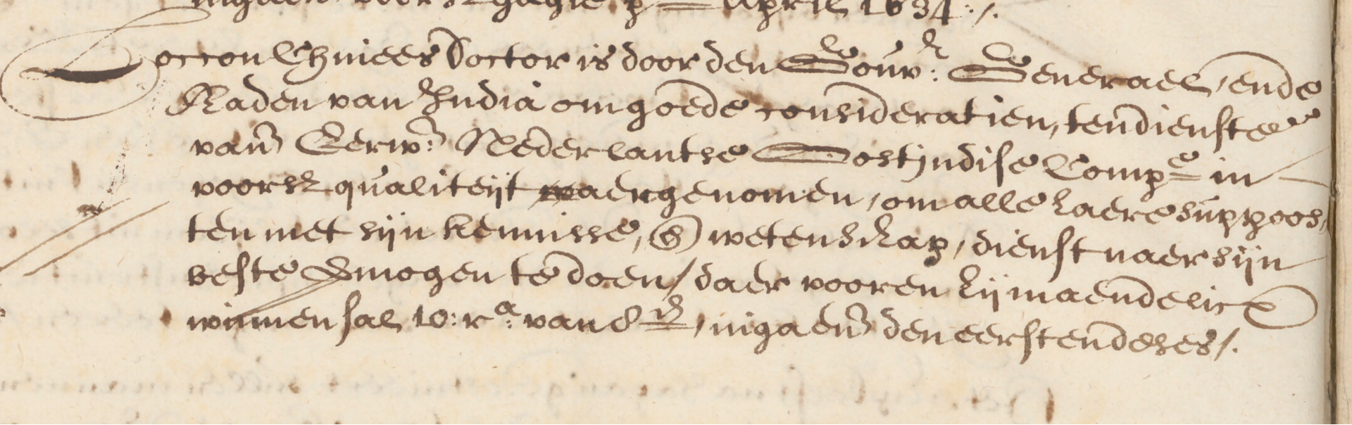
VOC Council of the Indies Hiring a Chinese Doctor, 1635.