Skip to content
Home
Syllabus
Visual Sources
Knowledge, Science, and Technology
Empire and State Formation
Maritime Connections
Slavery / Captivity / Labor / Unfreedom
Border and Borderlands
Global Asia in Documents
Digital Humanities Projects
Menu
Close
Home
Syllabus
Visual Sources
Knowledge, Science, and Technology
Empire and State Formation
Maritime Connections
Slavery / Captivity / Labor / Unfreedom
Border and Borderlands
Global Asia in Documents
Digital Humanities Projects
Maritime Connections
explorations, maritime routes, the state
Visual Materials
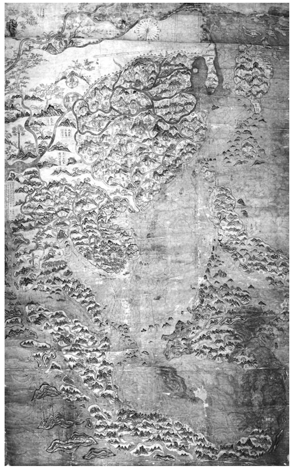
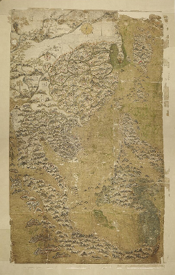
A rare map of Min trade routes, probably dating from the 1620s.
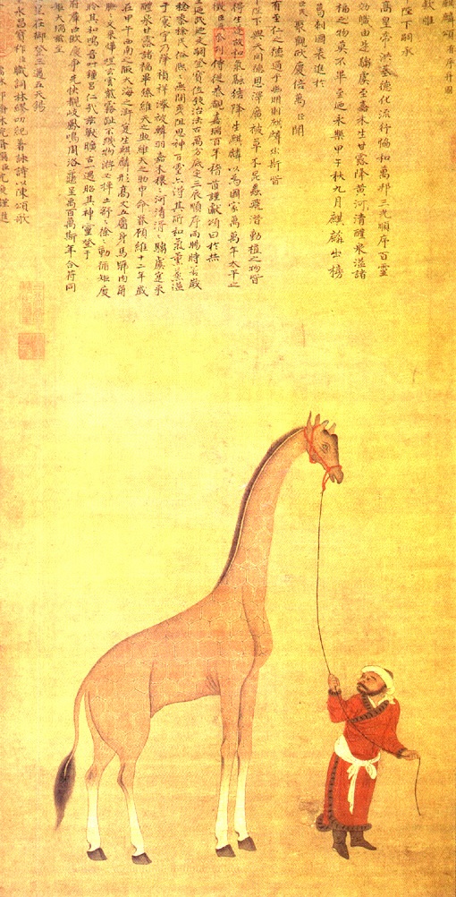
Tribute Giraffe with Attendant
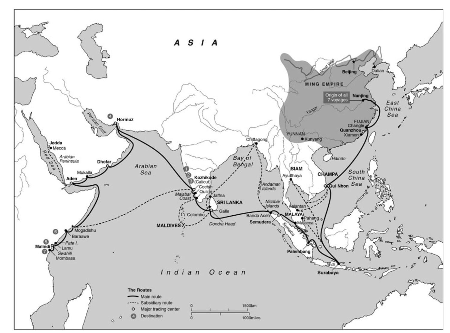
The route of Zheng He’s seven voyages
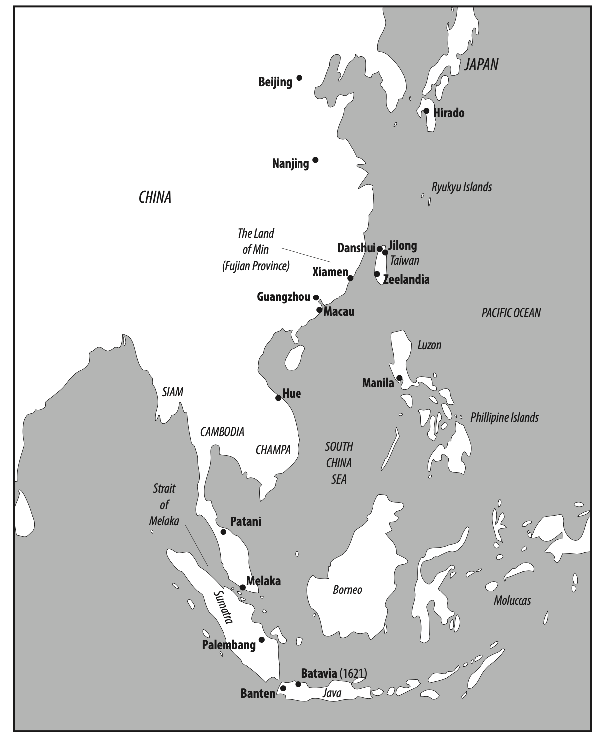
Main Min trading routes, 1600s
Further Readings
The Selden map of China
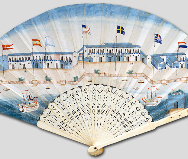
Rise and Fall of the Canton Trade System by MIT
What were the different ways people used the Indian Ocean?
Visual Materials
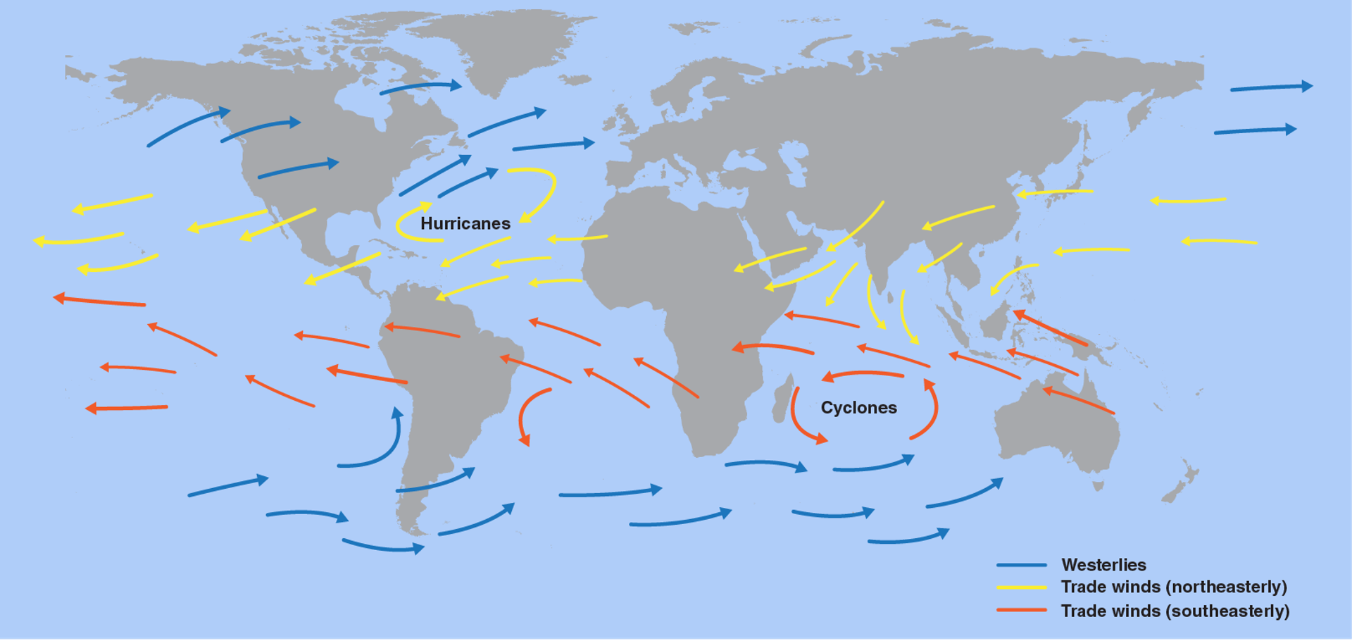
Map of Prevailing Winds.
A Dhow near Zanzibar
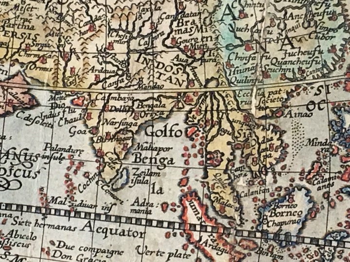
A late 16th-century European map showing an enlarged Maldive Island chain.
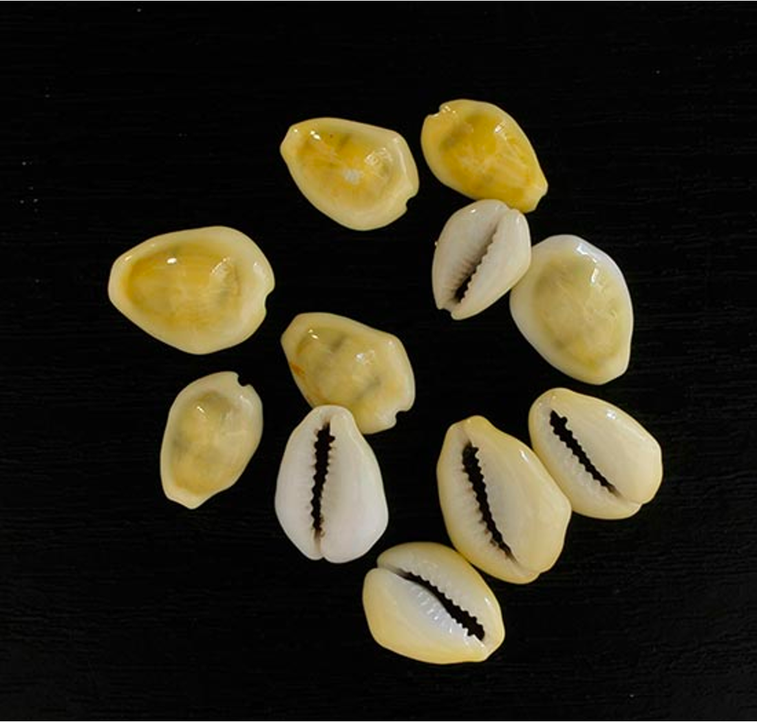
Cowries, Mehmet Emir.
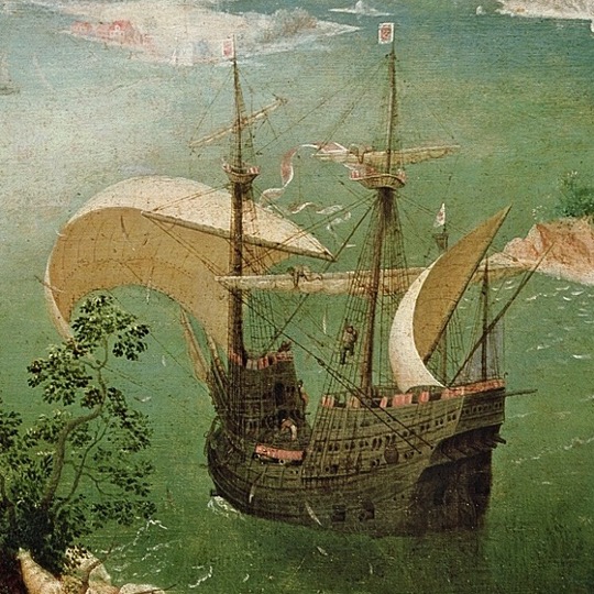
A Portuguese Carrack, 1560s.
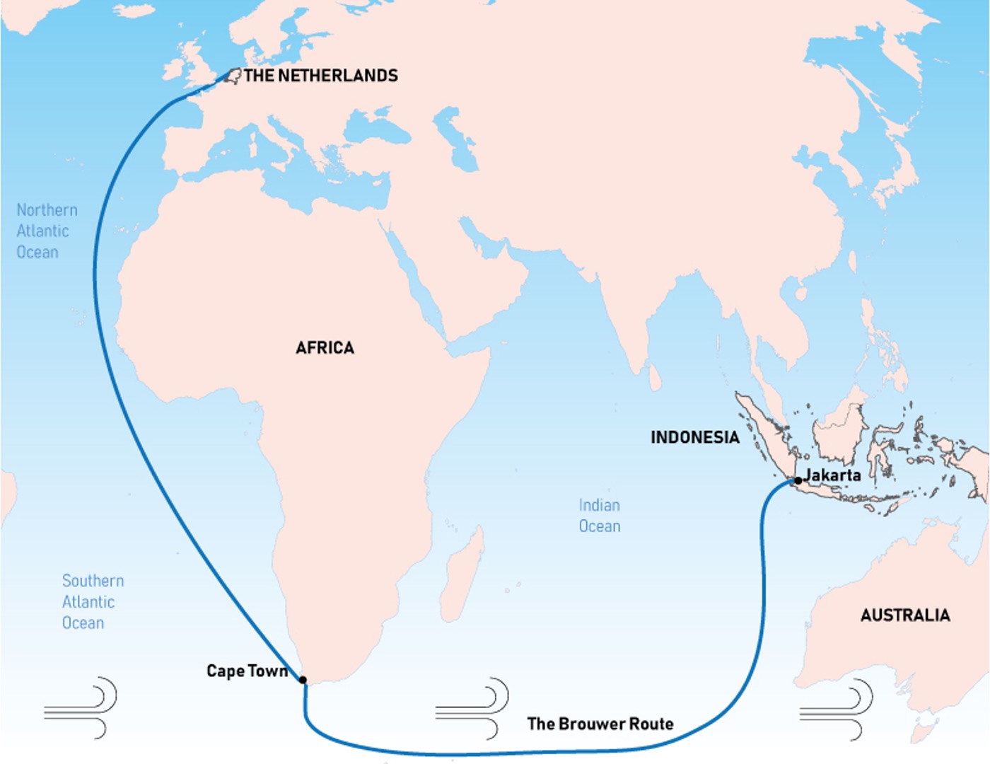
The Brouwer Route, 1611.
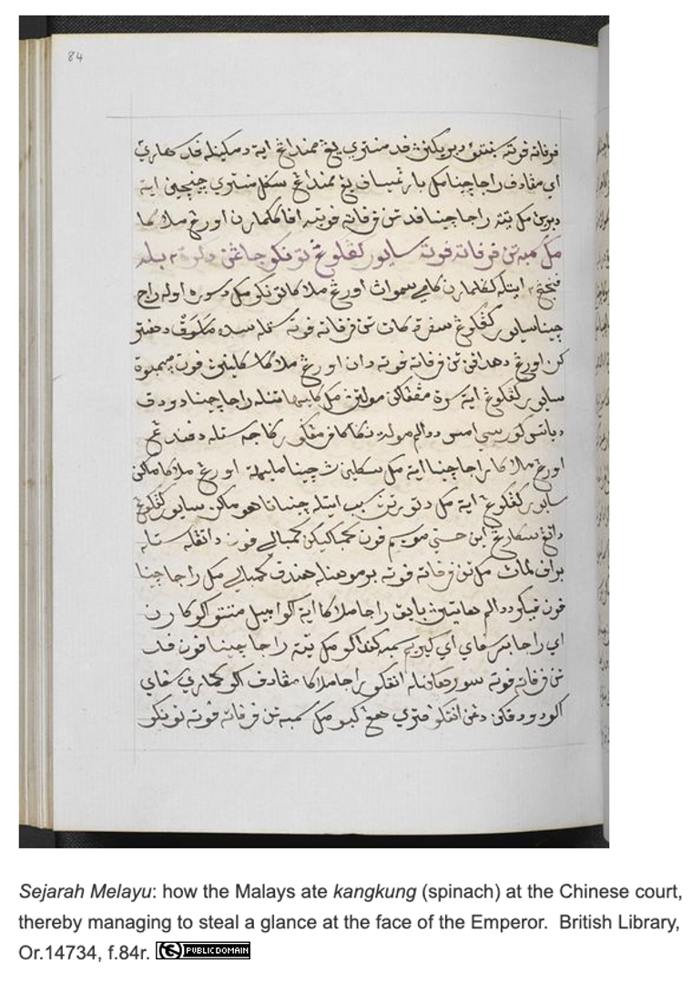
A copy of the Sejarah Melayu (Malay Annals) held by the British Library.
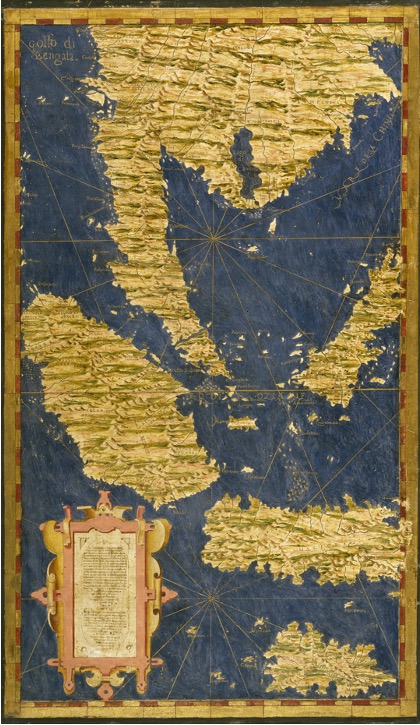
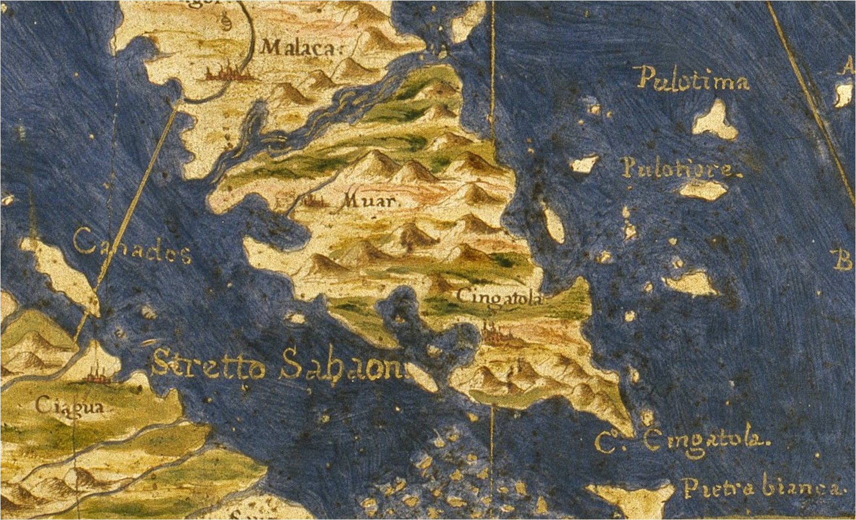
The 1573 map by Egnazio Danti showing Cingatola as an island located on the tip of Regio di Malaca.
The 1573 map by Egnazio Danti showing Cingatola as an island located on the tip of Regio di Malaca.
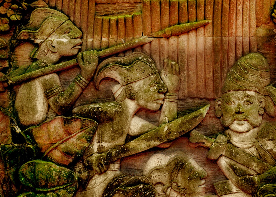
Depiction of Malay warriors of ancient Singapura on a relief in Fort Canning Park, Singapore.